Super Typhoon "Bavi" Threatens Guam and the Northern Mariana Islands with Wind Speeds Up to 350 km/h
Hagåtña, July 5, 2026
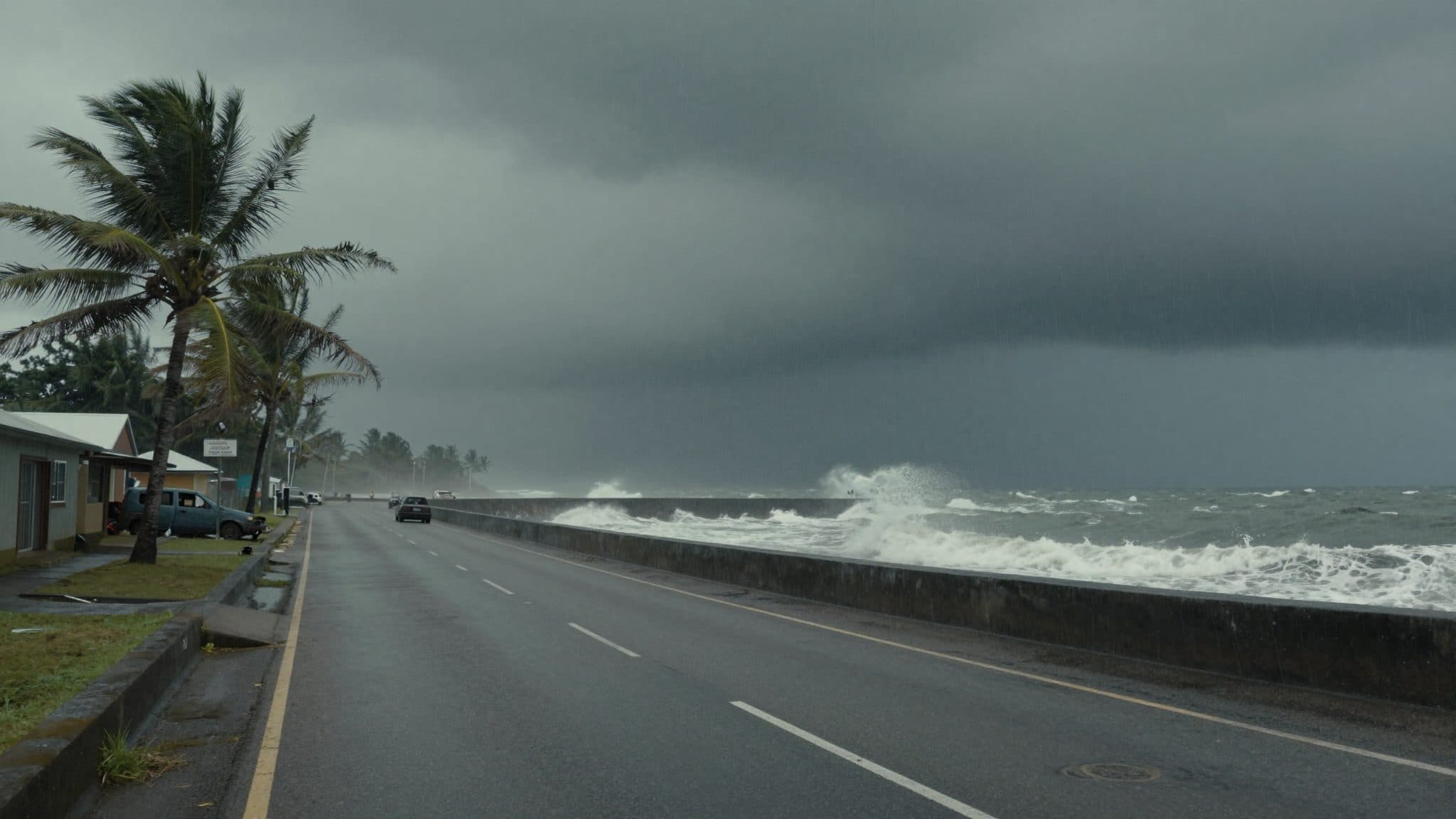
AI-generated image (z-image via Kie.ai)
Summary
Super Typhoon "Bavi" is heading toward the U.S. territories of Guam and the Northern Mariana Islands with wind speeds of up to 350 kilometers per hour. The U.S. National Weather Service (NWS) warned of "catastrophic" damage around the eye of the storm, and a state of emergency has been declared.
Hagåtña, July 5, 2026
Super Typhoon "Bavi" reached the U.S. territories of Guam and the Northern Mariana Islands in the Pacific during the night of Monday (local time) and threatens to cause "catastrophic" damage, according to the U.S. National Weather Service (NWS).
Early Monday morning, strong winds and heavy rain were already recorded on the neighboring islands of Guam and the Northern Mariana Islands. The cyclone was heading directly toward the island of Rota, the NWS said. A few hours later, the super typhoon was expected to make landfall on Rota. Authorities declared a state of emergency.
The NWS described the cyclone as "very dangerous." "Catastrophic" damage was expected around its eye. In light of the approaching Super Typhoon "Bavi," the U.S. National Weather Service NWS warned of destruction in the U.S. territories in the Pacific.
Wind Speeds and Warning Level
According to the U.S. Typhoon Warning Center, "Bavi" was moving toward the U.S. territories with wind speeds of up to 350 kilometers per hour. The Joint Typhoon Warning Center estimated that winds could intensify to up to 180 miles per hour (about 290 km/h) as the storm moves across the islands.
A total of about 210,000 people live in the two U.S. territories. Rota, with its roughly 1,500 inhabitants, is the southernmost island of the Northern Mariana Islands and lies northeast of Guam. The capital of the Northern Mariana Islands is Saipan.
Affected Islands and Population
The NWS anticipated "significant flooding from torrential rains" and coastal inundation. Experts also warned of waves around ten meters high and "extremely dangerous" conditions at sea. Flash flood warnings are in effect for Rota, Saipan, Tinian, and Guam, including Dededo, Guam's most populous village.
On Guam and the Northern Mariana Islands, residents made final preparations on Sunday. Residents took shelter in evacuation centers or boarded up their homes and businesses. Local governments opened emergency shelters, which are nearing capacity, particularly for residents of low-lying areas and those living in wooden and tin shacks.
Preparations and Evacuations
Local NWS meteorologist Landon Aydlett spoke with the broadcaster NPR shortly after 1:30 a.m. Monday morning (local time) from central Guam. At that point, Aydlett had been awake for nearly 24 hours tracking the super typhoon. He described weather conditions on all four inhabited islands as steadily worsening, with torrential rain and strengthening winds.
Aydlett told the broadcaster: "This is a powerhouse super typhoon and this is going to be a very grim outlook for any island that takes a direct hit and that still looks like it could be the island of Rota. ... It's going to be probably near catastrophic for the entire island." He also warned of the consequences for neighboring islands: "We have a lot of vulnerable communities across northern Guam, people that live in more substandard building materials. ... From what I've heard from Saipan and Tinian, where many people still have no power two-and-a-half months after Sinlaku ravaged those islands, the shelters are packed and they had to turn people away."
Aydlett urged residents to get to safety: "People need to hunker down wherever they are because it's just too dangerous to go out at this point. ... We aim for zero fatalities and my gosh, I hope that's how it turns out. It's going to be a rough night and a rough day."
Appeals from Authorities
The Governor of Guam, Lou Leon Guerrero, had already placed the area in an elevated state of emergency readiness on Sunday. She addressed the public with an urgent appeal: "We want you to all be making sure that you are prepared. ... Be safe in your homes and please do not travel the roads, stay out of the waters and be safe."
According to the NWS, dozens of schools and hospitals could be affected by the storm. Power outages have already been reported on Guam. Andersen Air Force Base on Guam requested that only essential personnel enter the grounds. Some flights were canceled, and the Port Authority of Guam suspended operations.
Celebrations marking the 250th anniversary of the Declaration of Independence of the United States had already been canceled. On Sunday, according to Guam's Joint Information Center, the super typhoon was moving north with maximum sustained wind speeds of 165 miles per hour (about 265 km/h).
Background: Super Typhoon "Sinlaku"
The Joint Typhoon Warning Center classifies tropical cyclones with sustained wind speeds of 150 miles per hour or greater in the western North Pacific as super typhoons. The NWS has issued typhoon warnings for the islands of Guam, Rota, Tinian, and Saipan.
The region had already suffered in April under Super Typhoon "Sinlaku," which had caused power outages for tens of thousands of people. According to Aydlett's accounts, many people on Saipan and Tinian still have no electricity two and a half months after that storm, and emergency shelters there are overcrowded and have to turn people away.
International Assessment
Super Typhoon "Bavi" is expected to move through the region on Monday morning (local time) and could cause severe or catastrophic damage. Authorities and weather services continued to monitor the storm's development with the highest attention.
Dana Williams, news chief of Isla Public Media, contributed to the reporting. The cyclone had, according to earlier statements from authorities, already caused flooding and power outages along its path before reaching its anticipated landfall on Rota.
Questions & Answers
What is Super Typhoon "Bavi" and how strong are its winds?
"Bavi" is a tropical cyclone classified as a super typhoon by the Joint Typhoon Warning Center because its sustained wind speeds exceed 150 miles per hour. The warning center estimates that winds could reach up to 180 miles per hour (about 290 km/h), and authorities have even spoken of up to 350 kilometers per hour.
Which U.S. territories are affected by "Bavi"?
The affected areas are the U.S. territory of Guam and the Northern Mariana Islands, which include the islands of Rota, Saipan, and Tinian, home to a combined population of around 210,000 people. With about 1,500 inhabitants, Rota is the southernmost and at the same time the smallest of the islands mentioned.
What damage is expected and how have authorities responded?
The NWS warned of "catastrophic" damage around the eye of the storm, torrential rainfall, coastal flooding, and waves around ten meters high. Authorities declared a state of emergency, opened emergency shelters, canceled flights, and suspended port operations on Guam.
Super Typhoon Bavi: Guam and Northern Mariana Islands on | allfacts360