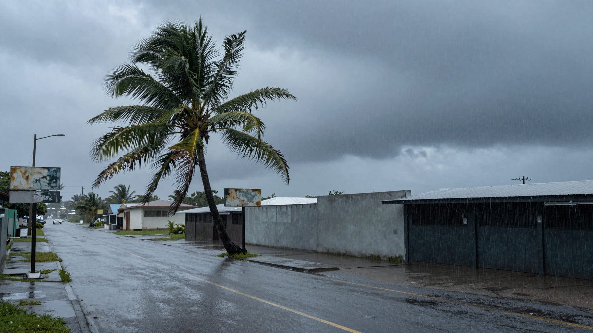
Super Typhoon "Bavi" Threatens Guam and the Northern Marianas — Authorities Warn of Catastrophic Damage
Hagåtña, July 6, 2026
AI-generated image (z-image via Kie.ai)
Summary
Super Typhoon "Bavi" is heading toward the U.S. territories of Guam and the Northern Marianas in the Pacific with wind speeds of up to 350 kilometers per hour. Authorities declared a state of emergency, emergency shelters filled up, and celebrations marking the 250th anniversary of the U.S. Declaration of Independence were canceled.
Hagåtña, July 6, 2026
Super Typhoon "Bavi" is heading directly toward the island of Rota — and thus toward the U.S. territories of Guam and the Northern Marianas in the Pacific — with wind speeds of up to 350 kilometers per hour, according to the U.S. National Weather Service (NWS), where authorities have declared a state of emergency.
Weather Service Warnings
Strong winds and heavy rain were already recorded on the neighboring islands of Guam and the Northern Marianas early Monday morning (local time). "Montagfrüh (Ortszeit) wurden auf den benachbarten Inseln Guam und den Nördlichen Marianen bereits starker Wind und heftiger Regen registriert," the warning bulletins stated. The cyclone was heading directly toward the island of Rota, the NWS reported. A few hours later, the super typhoon was expected to make landfall on Rota.
According to the weather agency, the super typhoon would unleash its most catastrophic effects on Monday morning local time, at the peak of its proximity to Guam. The NWS anticipated "significant flooding from torrential rains" and flooding of coastal regions. Flash flood warnings were in effect for Rota, Saipan, Tinian, and Guam, including Dededo, Guam's most populous village.
The storm reached wind speeds of up to 165 miles per hour (around 266 kilometers per hour) on Sunday, according to the Joint Typhoon Warning Center's assessment. Guam's Joint Information Center said Bavi was moving northward on Sunday at a maximum speed of 165 miles per hour. The Joint Typhoon Warning Center estimated that winds could strengthen to up to 180 miles per hour (about 290 kilometers per hour) as the storm moves across the islands. A separate source even cited wind speeds of up to 350 kilometers per hour.
The Joint Typhoon Warning Center classifies a storm with sustained winds of 180 miles per hour as a severe Category 5 storm. In the western North Pacific, tropical cyclones with sustained winds of at least 150 miles per hour are classified as super typhoons. Against this backdrop, the NWS warned of a "very dangerous" situation and of destruction in the U.S. territories in the Pacific.
State of Emergency and Canceled Celebrations
Authorities declared a state of emergency. Guam, under Lou Leon Guerrero, had already declared an elevated state of emergency preparedness on Sunday. Guerrero addressed the public with urgent words: "We want you to all be making sure that you are prepared. Be safe in your homes and please do not travel the roads, stay out of the waters and be safe." Celebrations marking the 250th anniversary of the United States Declaration of Independence had already been canceled.
The island of Rota, with its roughly 1,500 inhabitants, is the southernmost island of the Northern Marianas and lies northeast of Guam. A total of about 210,000 people live on the two U.S. territories across the islands. During the storm, power outages were already reported on Guam. Local governments opened emergency shelters, which quickly filled up; above all, residents of low-lying areas as well as people living in wooden houses and corrugated tin shacks sought refuge there.
Affected Islands and Their Residents
Local NWS meteorologist Landon Aydlett described the situation to NPR from central Guam shortly after 1:30 a.m. local time: "This is a powerhouse super typhoon and this is going to be a very grim outlook for any island that takes a direct hit and that still looks like it could be the island of Rota." Aydlett had at that point already been awake for nearly 24 hours straight to monitor the storm.
Weather conditions were steadily deteriorating on all four inhabited islands, according to Aydlett, with torrential rain and intensifying wind. He forecast devastating impacts for the entire island of Rota: "It's going to be probably near catastrophic for the entire island." He expressed particular concern for vulnerable communities in northern Guam that had still not fully recovered from Typhoon "Sinlaku."
Aftermath of Typhoon Sinlaku
In April, Super Typhoon "Sinlaku" had caused power outages for tens of thousands of people. "We have a lot of vulnerable communities across northern Guam, people that live in more substandard building materials," Aydlett warned. On Saipan and Tinian, where many people were still without power two and a half months after "Sinlaku," shelters were overcrowded and had to turn people away, he further reported: "From what I've heard from Saipan and Tinian, where many people still have no power two-and-a-half months after Sinlaku ravaged those islands, the shelters are packed and they had to turn people away."
Aydlett urgently called on the population to seek shelter: "People need to hunker down wherever they are because it's just too dangerous to go out at this point. We aim for zero fatalities and my gosh, I hope that's how it turns out. It's going to be a rough night and a rough day." With a view to the expected damage around the eye of the storm, he spoke of "katastrophalen" destruction.
Civilian-military infrastructure was also not spared: at Andersen Air Force Base on Guam, only absolutely essential personnel were permitted on base. The NWS pointed out that dozens of schools and hospitals could be affected by the storm. Multiple flights were canceled, and the Guam Port Authority ceased operations before the storm arrived.
Infrastructure and Preparations
Residents on Guam and the Northern Marianas made last preparations on Sunday. They moved to evacuation centers or barricaded their homes and businesses. Experts also warned of waves around ten meters high and "extremely dangerous" conditions at sea. Structural damage, toppled trees, and power outages were expected.
In view of the approaching Super Typhoon "Bavi," the U.S. National Weather Service NWS has warned of destruction in the U.S. territories in the Pacific. The super typhoon was accordingly on course to pass Guam and the Northern Marianas on Monday morning local time, potentially causing severe and catastrophic damage. The storm is classified as a "very dangerous" cyclone.
Dana Williams of Isla Public Media contributed to the reporting. The situation on the affected islands remains serious: as the super typhoon continues to bear down on Rota, authorities and meteorologists hope that preparations and warnings to the public can prevent the worst.
Questions & Answers
Which U.S. areas are affected by Super Typhoon "Bavi"?
Affected are the U.S. territory of Guam as well as the Northern Marianas with the islands of Rota, Saipan, and Tinian in the Pacific. A total of about 210,000 people live across the two territories.
Why did authorities declare a state of emergency?
The NWS classified the approaching super typhoon as "very dangerous" and warned of wind speeds of up to 350 kilometers per hour, torrential rain, waves around ten meters high, and potentially catastrophic damage around the eye of the storm.
What do meteorologists know about Typhoon "Sinlaku" from April?
Typhoon "Sinlaku" caused power outages for tens of thousands of people in the Northern Marianas in April. According to NWS staffer Landon Aydlett, parts of Saipan and Tinian were still without power two and a half months later, and emergency shelters were overcrowded.
Super Typhoon Bavi Threatens Guam & Northern Marianas | allfacts360