Heatwave Austria: up to 38 degrees – East hottest | allfacts360
Geosphere Austria announces heatwave with temperatures up to 38 degrees – East hit hardest
Vienna, July 26, 2026
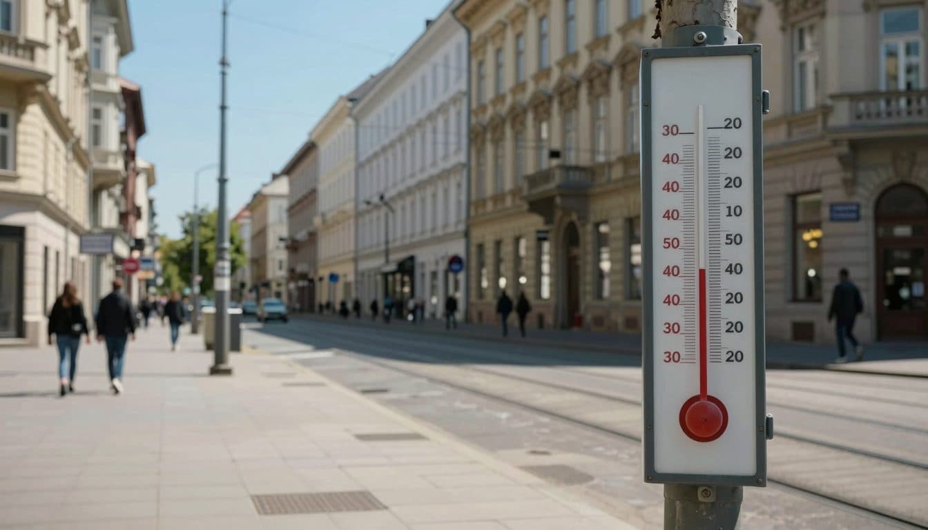
AI-generated image (z-image via Kie.ai)
Summary
Geosphere Austria has announced a heatwave with temperatures of up to 38 degrees for the second half of the week. The highest values are expected especially in the eastern lowlands, while from Wednesday onwards it will become increasingly cloudless and hot like high summer.
Vienna, July 26, 2026
Geosphere Austria announced on Sunday a heatwave for Austria that will bring temperatures of up to 38 degrees in the second half of the week, with the eastern lowlands being hit hardest.
The heatwave falls within the period of the so-called "dog days," the meteorologically often very hot stretch between July 23 and August 23. The name, however, does not go back to the fact that one feels "dog-miserable" (hundselendig) in the heat, but rather to the constellation Canis Major, which was formerly visible in the sky during this time of year. The coming days will show whether the high expectations for this period will be fulfilled.
Dog Days: Origin of the name and weather tradition
According to the meteorologists, the extreme temperatures are caused by a southwesterly flow that transports subtropical hot air masses from the western Mediterranean region to Austria. On Friday, high pressure and this southwesterly flow together determine the weather. From Spain and France, where the felt temperatures in the current heatwave sometimes reached 51 degrees, the hot air masses travel directly to Central Europe.
Cause of the heatwave: Subtropical air from the Mediterranean region
Monday starts still changeable in Austria: In the south and southeast, the sun shines longer until noon, then more clouds appear, which also bring isolated, sometimes thundery rain showers. In the rest of Austria, there is an interplay of clouds and sun all day, along with some rain showers, which can occasionally be thundery. Most rain showers are expected along the northern side of the Alps. Toward evening, the showers gradually become less frequent.
Weather on Monday: Changeable with showers
On Monday morning, temperatures range from ten to 22 degrees; in the afternoon, 22 to 30 degrees are reached. The wind blows moderately to briskly, in the east partly strongly from west to northwest, while in the south it is weak to moderate. In the east, the wind is sometimes strong and gusty, which can somewhat mitigate the felt temperature.
Tuesday brings a significant calming of the weather. On Tuesday, sunshine predominates mostly, and the sky is partly even cloudless. Only in the east and southeast do a few cumulus clouds appear from late morning to late afternoon, but it remains dry. Early temperatures are between eight and 18 degrees, afternoon temperatures between 26 and 32 degrees. The wind comes weakly to moderately from variable directions.
Tuesday: Weather calming and plenty of sun
From Wednesday, it will get really hot. Most of the time, the sun shines even from an almost cloudless sky. Only over the western and southwestern mountainous regions do the first cumulus clouds become increasingly powerful in the morning. With these, one or another rain shower or thunderstorm is to be expected in Vorarlberg, in Tyrol and East Tyrol, as well as in Salzburg and in western Styria by evening.
On Wednesday, early temperatures reach 13 to 20 degrees, and during the day they climb to 28 to 37 degrees. This puts Wednesday already clearly above the 30-degree mark; daily highs range from 28 to 37 degrees across Austria. The wind blows weakly to moderately, in the east sometimes more briskly from southeast to west. In the afternoon, isolated heat thunderstorms can form in the western mountain regions such as Vorarlberg, Tyrol, and Salzburg.
Wednesday: Start of the great heat
According to the experts, Thursday marks the preliminary peak of the heat. Subtropical warm air from southwestern Europe remains weather-determining for Austria on Thursday. The mostly sunny and high-summer hot weather continues. A weak to moderate wind blows, in the eastern lowlands as well as in the Vienna Basin and in northern Burgenland also a brisk wind from east to southwest. From 15 to 21 degrees in the morning, the temperature warms up during the day to 29 to 38 degrees.
Thursday: Preliminary peak of the heatwave
The only chance for cooling on Thursday are isolated heat thunderstorms over the Alpine peaks. Only over the Alpine peaks do cumulus clouds become more powerful during the day. With these, isolated local thundery rain showers can also form. Overall, however, the tendency for showers and thunderstorms remains low until evening. In Vienna, the thermometer can climb to peak values of over 40 degrees in the shade, according to the forecasts.
On Friday, the heat continues with full force. On Friday, high pressure and a southwesterly flow are weather-determining. With the flow, subtropical hot air masses from the western Mediterranean region reach Austria. Already the early temperatures are at 14 to 22 degrees. The daily maximum temperatures are reached at 30 to 38 degrees. It will be warmest in the eastern lowlands.
Friday: Persistent heat across the country
Also on Friday, the tendency for thunderstorms remains overall low. Until evening, the sun shines in most parts of the country from a radiantly blue sky. Only over the Alpine peaks do cumulus clouds form during the day. In Tyrol and Vorarlberg, individual local heat thunderstorms cannot be ruled out by evening. The wind comes from east to southwest and blows moderately freshening on the eastern edge of the Alps and generally in the east, and also briskly at higher elevations.
The meteorologists recommend planning the coming days with increased caution, especially in the eastern federal states. High temperatures over several days can put a heavy strain on the human organism. Anyone who has to work or do sports outdoors in the heat should avoid the midday hours, drink enough fluids, and pay attention to warning signs from the body.
The heatwave is part of a summer that has already produced record temperatures in large parts of Europe. As Geosphere Austria announced on Sunday, the next heatwave in the second half of the week will bring up to 38 degrees, with the most sweating in the eastern lowlands. From Wednesday, it can get as hot as 38 degrees.
On Monday, Geosphere Austria announced the next heatwave and pointed to the interplay of high pressure and subtropical air supply. The weather situation is reminiscent of the heatwave in July, when felt temperatures of up to 51 degrees were reached in Spain and France. With the southwesterly flow, the extremely high temperatures from these heat hotspots are transported to Central Europe.
The dog days used to be considered the hottest time of the year, and the current forecast confirms this empirical value. In the coming days, it will become apparent how sustained the heatwave is and whether it will bring new temperature records in Austria. A reliable forecast beyond the weekend is currently not yet possible.
Questions & Answers
What has Geosphere Austria announced for the second half of the week?
Geosphere Austria announced on Sunday a heatwave that will bring temperatures of up to 38 degrees in the second half of the week. The eastern lowlands are particularly affected, where the highest values are expected.
Why is it currently so hot in Austria?
A southwesterly flow transports subtropical hot air masses from the western Mediterranean region, especially from Spain and France, to Austria. In combination with high pressure, the high-summer heatwave develops.
What are the dog days and why are they called that?
The dog days refer to the period between July 23 and August 23, which is meteorologically often particularly hot. The name, however, does not go back to the heat, but to the constellation Canis Major, which was formerly visible in the sky during this time.