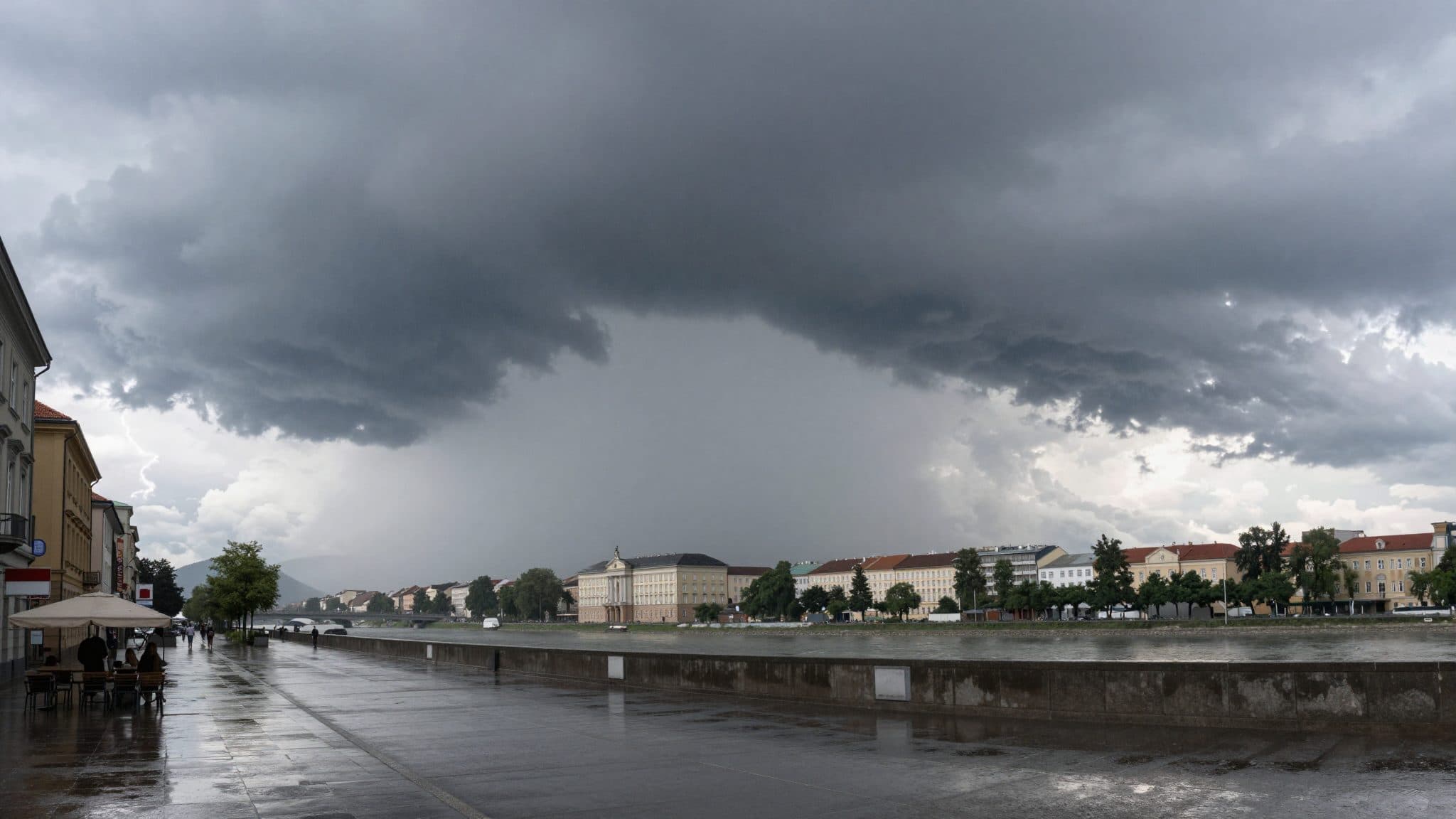
Thunderstorms and Rain Bring Austria a Brief Respite from the Heat
Vienna, July 20, 2026
AI-generated image (z-image via Kie.ai)
Summary
Heavy thunderstorms and substantial rainfall have provided a temporary easing of the months-long drought across large parts of Austria. According to Geosphere Austria, however, the precipitation is far from sufficient to sustainably replenish the depleted groundwater levels — particularly in the eastern parts of the country.
Vienna, July 20, 2026
After weeks of heat, heavy thunderstorms and in some places torrential rainfall have brought a temporary cooling across large parts of Austria, as meteorologists from Geosphere Austria reported on Monday.
Weather Change After Weeks of Heat
The change in weather came just in time for many people in Austria. Following a multi-week phase with temperatures significantly above seasonal norms, a cold front brought not only powerful thunderstorms but also noticeably fresher air masses. Meteorologists at Geosphere Austria therefore speak of a brief but noticeable respite.
As climatologist Alexander Orlik from Geosphere Austria explained on Monday in response to an APA inquiry, the rainfall measured across all stations over the past six days averaged around 30 millimeters. This corresponds to roughly one-fifth of the precipitation that falls in an average July in Austria. "Das brachte zwar fürs Erste eine kleine Entspannung in der Dürreperiode, in der sich Österreich schon seit mehreren Monaten befindet", Orlik analyzed.
Impressive Rainfall Totals in Vienna
The rainfall amounts over the past days were particularly impressive in Vienna. At the Hohe Warte measuring station for the federal capital, 53.4 millimeters of rain were recorded during this period. Within just ten minutes, 14 millimeters fell there; within half an hour, 33.5 millimeters accumulated; within 60 minutes, 45.9 millimeters; and within two hours, a total of 47.3 millimeters.
According to Orlik, amounts this heavy have otherwise only been "poured down" in Seckau in Styria, where 38.5 millimeters were measured within 120 minutes, and in Carinthia's Weitensfeld, where 35.5 millimeters fell in two hours — though with significantly higher overall rainfall amounts over the multi-day comparison period than in Vienna. In total, the Hohe Warte measuring station records 53.4 millimeters of precipitation for Vienna during the specified period.
Drought in the East Persists
According to Orlik, precipitation totals between 50 and 100 millimeters were also recorded at 49 other weather stations in Austria. The rainfall was particularly abundant in Tannheim in Tyrol, in Mittelberg in Vorarlberg, and in Seckau in Styria: in each of these locations, more than 100 millimeters of precipitation accumulated over the past week. Geosphere spoke of "heftigen Gewittern" that had initially eased the extreme drought in some areas.
Despite the sometimes impressive rainfall amounts, the overall situation remains tense. Orlik pointed out that the precipitation fell primarily in the west and in the Alpine regions, while the eastern parts of the country continue to suffer from what is in some cases record-level drought. "Auf die niedrigen Grundwasserpegel – vor allem im Osten Österreichs – haben die Niederschlagsmengen kaum Auswirkung", Geosphere stated on the matter.
According to Orlik, around 160 millimeters of rain — or 160 liters per square meter — is still missing across the board to normalize the climatic water balance. This corresponds to roughly double the average July precipitation and cannot be compensated for by individual thunderstorm events; rather, it requires sustained, widespread rain over several weeks.
Temperatures Drop to Late-Summer Levels
Nature, too, only benefits in the short term according to the experts' assessment. "Für die Natur bedeutet das einen Moment Erholung", Geosphere explained. Deeper soil layers, from which many plants and trees draw their water, were hardly reached by the frequently rapidly runoff-heavy precipitation. Flash floods and flooded basements were nevertheless on the daily agenda in some regions.
The cold front is also accompanied by a significant temperature shift. "Man könnte sagen, es wird spätsommerlich", said meteorologist Christian Resch from Geosphere Austria. On Monday, the maximum values, with a brisk northwesterly wind, were mostly around 25 degrees Celsius. Similar temperatures are expected for Tuesday, along with the northwesterly wind remaining brisk in places.
In the further course of the week, values will initially remain subdued: on Wednesday, with a brisk wind from west to north, it will become a bit cooler, with temperatures dropping to a maximum of 26 degrees. On Thursday, with at times brisk northwesterly winds, it will remain pleasantly fresh, with a maximum of 25 degrees.
Toward the weekend, a slight warming is then indicated. On Friday, with at times brisk northwesterly winds, it will be warm but no longer hot and humid, with temperatures between 22 and 29 degrees. On Saturday, it will be a touch warmer, with temperatures rising to a maximum of 27 or 28 degrees. Overall, the forecast thus lies slightly below the seasonal average.
Impacts on Agriculture and Nature
In parallel to the thunderstorms, the weather fronts also moved across Upper Austria, where at times heavy precipitation caused drainage problems. Fire brigades were deployed locally to pump out flooded basements and clear fallen trees from roads. However, according to the state warning center, no one was injured.
For agriculture, the precipitation is a double-edged sword. While surface soil moisture briefly increases and grassland and grain can recover somewhat, the situation in the east remains tense. There, the drought had intensified over months, and in some places irrigation bans for agriculture had already been imposed.
No Trend Reversal in Sight
In the long term, the climatologists at Geosphere Austria see no fundamental change: should the large-scale weather pattern shift back to summer high-pressure conditions in the coming weeks, a rapid return of the heat must be expected. The rainfall amounts that have now fallen should therefore be understood as a breathing pause, not a trend reversal.
Overall, a look at the measurements shows: the brief heat break brought visible relief, but no solution. For agriculture, the forests, and the drinking water supply in eastern Austria, the situation remains tense for the time being, according to the experts' assessment.
Questions & Answers
Who is Alexander Orlik and what role does he play in the current weather situation?
Alexander Orlik is a climatologist at Geosphere Austria. On Monday, he analyzed the recent precipitation amounts at the request of APA and explained that the thunderstorms bring only a small easing of the drought period that has persisted for months.
How much rain fell in Vienna within a short time?
At the Hohe Warte measuring station in Vienna, 14 millimeters were measured within ten minutes, 33.5 millimeters within half an hour, 45.9 millimeters within 60 minutes, and 47.3 millimeters within two hours.
Why is the rain not enough according to experts?
According to Geosphere Austria, the precipitation fell mainly in the west and in the Alpine regions. To normalize the climatic water balance, around 160 millimeters per square meter are still missing across the board.
Heat Break in Austria: Thunderstorms, Rain, and Cool Nights | allfacts360